
VIEW
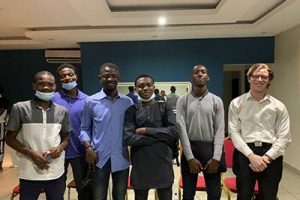
Institut ivoirien de technologie de Grand Bassam
En Afrique, nous sommes confrontés à un problème très difficile à résoudre concernant l’éducation. En effet dans le système éducatif, la pratique est toute aussi…
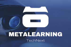
Méta-learning
Institut ivoirien de technologie de Grand Bassam
Le META-LEARNING est un univers virtuel dédier au secteur de l’éducation et composé de deux applications dont Etablissement et Auto-école, dans lesquels les utilisateurs pourront…


M.V.P : Meta Virtual Parlour
Aston University
A virtual fashion store, hosted in any metaverse platform, where are you walk around the store and virtually try out the products of different brands,…


Metaverse Virtual Shopping Platforms
Asia Pacific University
Making E-commerce and shopping applications Metaverse compatible has immense potential for business opportunities in the Metaverse world.
M-Office
INTI International University
M-Office is an application that presents 3D office space for users by following the rental or direct purchase basis based on the volume of the…

Virtual Reintegration
Technical University of Sofia
Our idea is to speed up the process of reintegration of inmates by putting them in a virtual enviroment which simulates real-life situations, through observement…
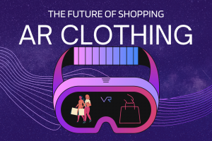

AR CLOTHING
HIGH TECH TECHNOLOGY SCHOOL IN MOROCCO
AR CLOTHING : future of shopping online

ESIEA VERSE
ESIEA
The ESIEAVERSE is a metaverse student project that will be used to create a virtual life around our school ESIEA. The main problem that pushed…

CozyHome
Babeș-Bolyai University
Our idea is based on making an application that grades a house/apartment based on the thermic comfort of the home. One will be able to…

Supply Chain Management Using Blockchain and VR Visualisation
Loughborough University
Looking at the recent evolution of blockchain and metaverse as well as the gaps that have arisen due to coronavirus. There seems to be a…


LearnIT
hanzehogeschool
Choosing a study and school is a big moment in everyone’s life. And the chance you pick it right the first time is low. Not…
Virtualify
Loughborough University
Virtualify is an education tool that focuses on mathematical mechanics and aims to improve the chances of gaining high grades in specific subjects. This will…
SensoVerse
Orléans University
Our idea is based on the establishment of a more inclusive communication system in the metaverse. This system would allow deafs to communicate with other…
tutelage
Universiti Tun Hussein Onn
The system will provide the users with virtual induction program that can be accessed thru/via metaverse and be presented by a certified instructor with a…

Meta Path
university of library studies and information technologies
Plan and simulate diffrent travel paths in the metaverse. Join a community of fellow travellers and experience the new way of travelling in the metaverse.


VR Speech Trainer
Francisco de Vitoria University
In a fully connected world based on the Internet, the ability to speak to a huge audience is an uncommon skill. Most of the time,…
ROSIE – Robotic Operation in Simulated Immersive Environments
Loughborough University
Our idea is to develop a novel system for robot teleoperation which will enable a new mode of collaboration between humans and robots, creating an…